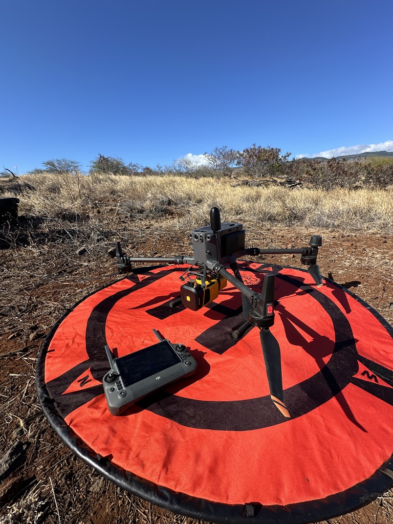
HEG provides a range of services for aerial surveying, utilizing advanced technology to capture high-quality data for various applications. Some of the key services offered by our Honolulu, Hawaii based company are:
- Topographic Surveying & Mapping
Creating accurate topographic maps for land development, engineering design, and environmental assessments. - Point Cloud Generation
Generating 3D point clouds of terrain, buildings, and other features for mapping and analysis. - Orthomosaic Maps
Creating high-resolution orthomosaic maps for urban planning, land management, and environmental assessments. - High-Resolution Aerial Imagery
Capturing high-quality aerial imagery for various applications, such as real estate marketing and infrastructure planning. - Watershed Simulation
Simulating watershed models for flood risk assessment, water resource evaluation, and land use planning. - 3D Models
Creating 3D models of terrain, buildings, and other features for visualization, engineering design, and urban planning.